Local Gulargambone Attractions
Gulargambone is a jewel in the Coonamble region’s crown, 47kms south of Coonamble along the banks of the Castlereagh River. Meaning ‘watering hole for many Galahs’ in the local Aboriginal language, it is famous for its corrugated tin Galahs, which act as welcoming signposts into town. It’s virtually impossible not to stop and capture these fantastic sculptures, created by local artists.
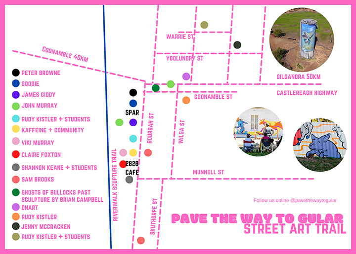
Despite being small, this town is bursting with personality. 'Gular' as the locals call it, brags the most spectacular street art scene, with vivid murals rivalling any Melbourne backstreet. So you don’t miss any of the key works from local and other renowned artists, community members, local organisations and school children, make sure to collect your Street Art map from the caravan park's reception.
Gular Riverwalk Sculpture Trail
The Gulargambone Riverwalk measures approximately 420m from one bridge to the next, one way, but of course is considerably longer should you desire to take the time to explore.
The 400m section behind the retail businesses on Bourbah Street features six large sculptures and a number of minor sculptures.
Ghosts of Bullocks Past
Working bullocks provided the muscle needed for our infant colony. While Australia ‘rode on the sheep’s back’, the wool that brought our prosperity rode the dusty miles from outback stations to the port on lumbering bullock wagons.
The concept of this installation was created by local artist Alison Dent. Local Coonamble sculpture artist Brian Campbell brought this concept to life, taking six months to complete the six individual bullocks made of steel rod and recycled wire netting.
two eight two eight Inc.
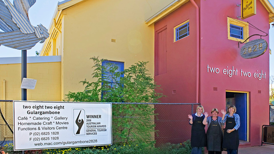
two eight two eight, named after our postcode, is the towns’ only café.
After extensive renovations of the old Majestic Picture Theatre and more recently retail Pump Shop, Café operations commenced in July 2004. two eight two eight boasts a cafe, art gallery, craft shop, function centre and catering service. A landscaped courtyard, movie nights, secondhand bookshop, children’s sensory play space, annual black tie ‘Dinner under the Stars’ event and an accredited VIC all enhanced the visitor experience.
Macquarie Marshes
The picturesque Macquarie Marshes (Bird Viewing Platform site) are located on Gibson Way, approximately 73km west of Coonamble near Quambone. The National Parks and Wildlife Service Nature Reserve (northern site entry) is located on Warren/Carinda Road.
Take in the iconic Macquarie Marshes from the Burrima Boardwalk. This 2km boardwalk meanders through forest, mixed marsh and reeds, providing an immersive experience of this diverse wetland ecosystem.
The Pilliga
The grand Pilliga Forest (or Pilliga Scrub) is made up of the rugged Pilliga Nature Reserve, Timmallallie National Park, Pilliga West and East State Conservation Areas.
Close to the town of Baradine (70km east of Coonamble), Pilliga is a vast natural forest spanning more than half a million hectares. While you’re there, be sure to visit the Sculptures in the Scrub and Salt Caves, or if time permits take a guided discovery tour of Sandstone Caves.
Warrumbungle National Park
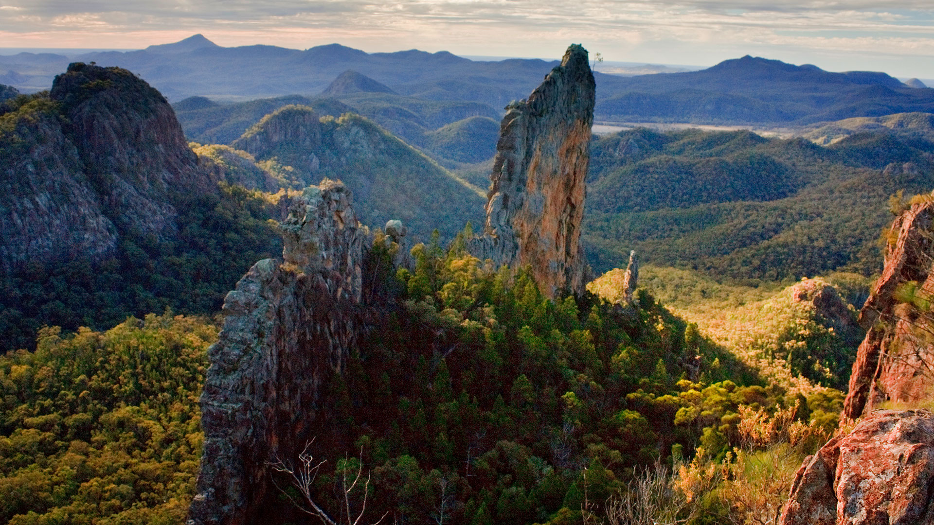
The captivating Warrumbungle National Park is 70km south-east of Coonamble and can be accessed via Tooraweenah Road, which is unsealed. Warrumbungle is a Gamilaroi word meaning ‘crooked mountain’. The volcanic formations are an iconic feature in the park, with The Breadknife, a volcanic dyke, standing 90m above the surrounding landscape.
Enjoy a leisurely stroll on one of the walking trails and visit the nearby Siding Springs Observatory or take your own telescope for a spectacular view of the Milky Way.


